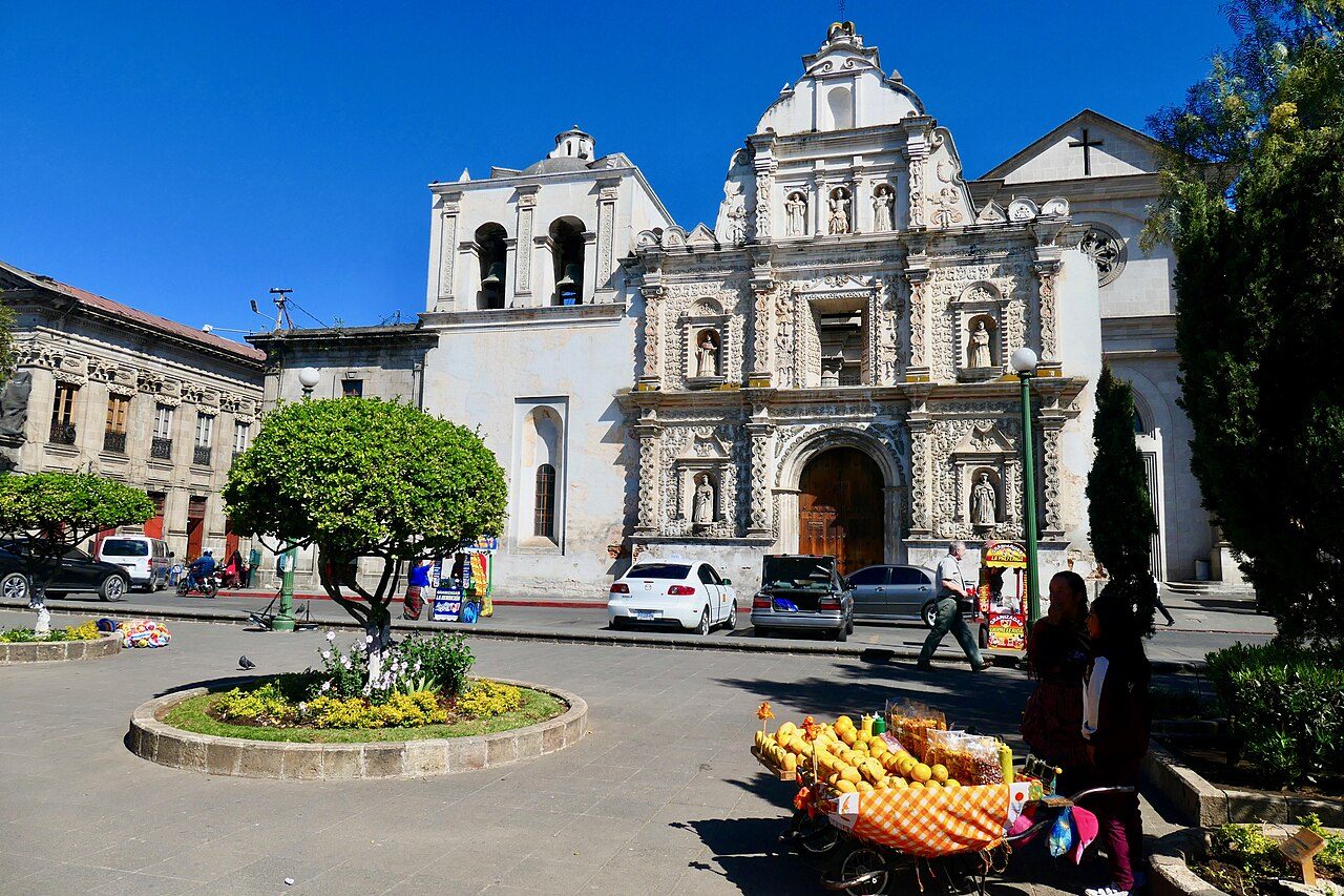
Quetzaltenango Travel Guide
Guatemala
Quetzaltenango is an inland city in western Guatemala, with a population of 132,230. It sits in the country’s highland region, so conditions are generally cooler than in Guatemala’s lowland and coastal areas.
Travellers arriving by air can use Los Altos Airport, also known as AAZ. Quetzaltenango is not a beach destination, and there are no notable named beaches within 40 kilometres of the city.
Local time
Population
Weather in Quetzaltenango
Mon
Tue
Wed
Know before you go
Pays in GTQ
Plug type Type A & Type B & Type G & Type I (UK adapter needed)
Emergency 110
Dial code +502
Tipping: Tipping is appreciated in Guatemala, especially for good service, but is not always expected. While not mandatory, rounding up or leaving a small tip is a nice gesture.
Best time to visit Quetzaltenango
Jan
18°14Feb
19°13Mar
19°25Apr
18°27May
19°29Jun
18°29Jul
19°23Aug
19°26Sep
18°29Oct
18°29Nov
18°20Dec
18°14Average daily maximums with rainy days per month, from the last three years of weather history.
Things to do in Quetzaltenango
Parque Intercultural de Quetzaltenango
cultural center
0.1 km
Cinépolis
movie theater
0.2 km
Iglesia Adventista del Septimo Dia Central de Xela
christian place of worship
0.4 km
Iglesia Cristiana Evangélica Casa de Salvación
protestant place of worship
0.5 km
Iglesia Templo Bautista
christian place of worship
0.6 km
Iglesia de Cristo Rey de Justicia
christian place of worship
1.4 km
Iglesia Enseñanza de Agua Viva Quetzaltenango
christian place of worship
1.6 km
Parroquia Nuestra Señora de la Merced Quetzaltenango
religious organization
1.6 km
Getting there
Los Altos Airport · 3.2 km
Frequently asked Questions
While we strive to provide accurate and up-to-date information, AtoBeach cannot be held responsible for any inaccuracies. We recommend verifying details with official sources before travelling.