
Matamoros Travel Guide
Mexico
Matamoros is a city of about 449,815 people in northeastern Mexico, close to the United States border. It is served by Matamoros Airport (MAM), the city’s named airport for air arrivals.
The nearest named beaches are across the border in Texas. Boca Chica State Park, in Boca Chica Village, is 37.9 kilometres away, while Del Mar Beach in Cameron County is 39.3 kilometres away.
Local time
Population
Weather in Matamoros
Mon
Tue
Wed
Know before you go
Pays in MXN
Plug type Type A & Type B (UK adapter needed)
Emergency 911
Dial code +52
Tipping: Tipping is customary in Mexico for various services. While not legally required, it's a significant part of service industry workers' income. Locals generally tip, and tourists are expected to do the same.
Best time to visit Matamoros
Jan
22°9Feb
24°6Mar
27°6Apr
29°6May
32°9Jun
34°10Jul
33°11Aug
34°12Sep
33°13Oct
31°8Nov
27°7Dec
24°8Average daily maximums with rainy days per month, from the last three years of weather history.
Beaches near Matamoros
Playa Lauro Villar
35.5 km away
Playa Washington
35.5 km away
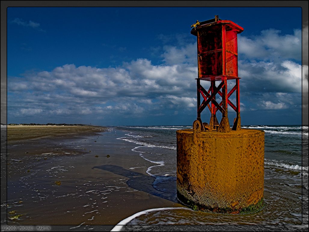
Boca Chica State Park
37.9 km away
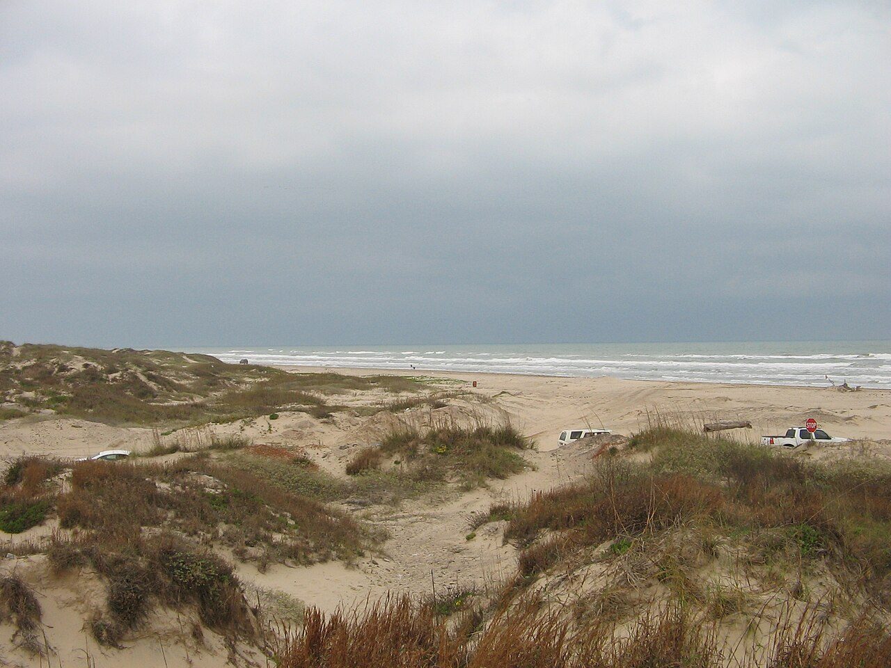
Del Mar Beach
39.3 km away
Things to do in Matamoros
5 km
Immaculate Conception Cathedral
christian place of worship
3.7 km
2 km
The Church of Jesus Christ of Latter-day Saints
christian place of worship
1.1 km
1.9 km
Catholic Diocese of Brownsville
roman catholic place of worship
3.1 km
Historic Brownsville Museum
history museum
4.3 km
Church of the Advent Episcopal
christian place of worship
4.6 km
Getting there
Matamoros Airport · 11.2 km
Frequently asked Questions
While we strive to provide accurate and up-to-date information, AtoBeach cannot be held responsible for any inaccuracies. We recommend verifying details with official sources before travelling.