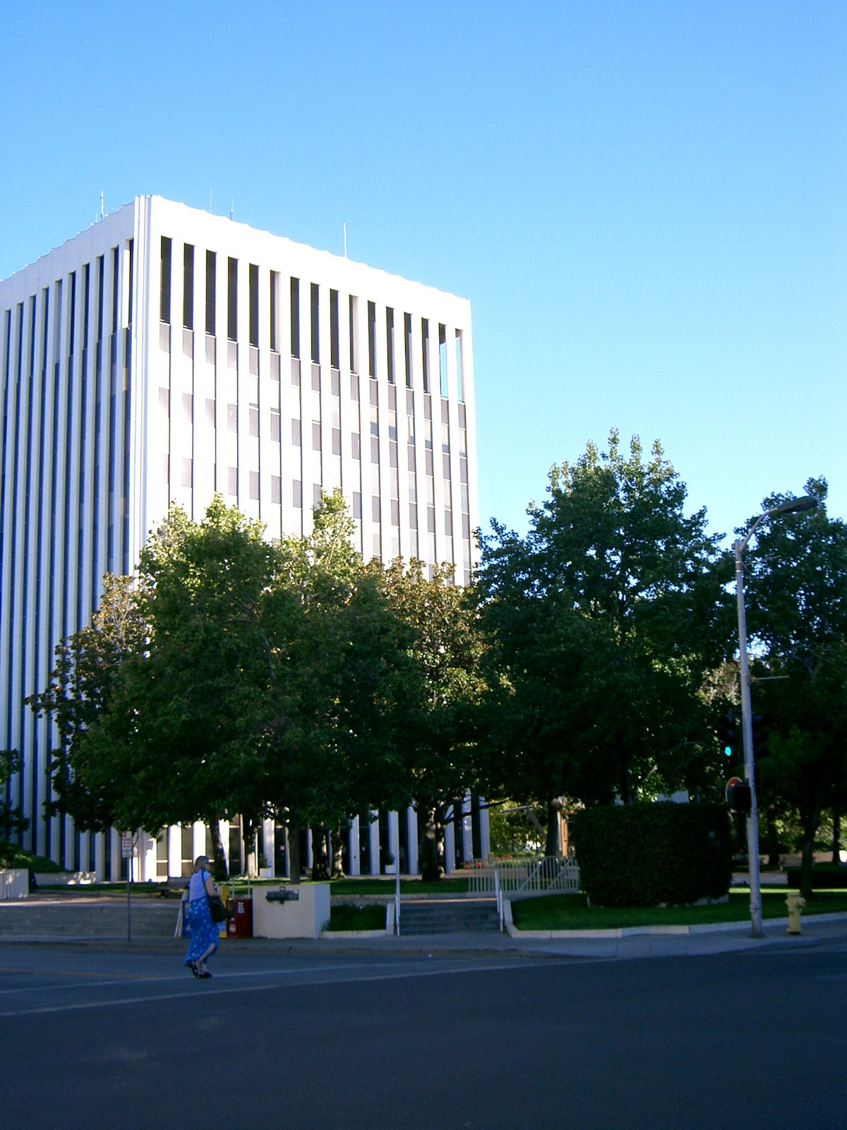
Palo Alto Travel Guide
California, United States
Palo Alto is a Californian city with a population of 66,853. It is served by Palo Alto Airport of Santa Clara County, also known by its airport code, PAO.
The nearby Pacific coastline has several named beaches within 40 kilometres. Tunitas Beach and Martin's Beach are both 24.6 kilometres away, while San Gregorio nude beach is 25.9 kilometres away. San Gregorio State Beach, San Gregorio Beach and Poplar Beach are between 26.4 and 26.7 kilometres from the city.
Local time
Population
Weather in Palo Alto
Mon
Tue
Wed
Know before you go
Pays in USD
Plug type Type A & Type B (UK adapter needed)
Emergency 911
Dial code +1
Tipping: Tipping is customary in the United States for various service industries. It's a significant part of service workers' income.
Best time to visit Palo Alto
Jan
14°10Feb
15°11Mar
16°14Apr
20°3May
23°3Jun
26°0Jul
28°0Aug
28°0Sep
27°2Oct
25°4Nov
18°9Dec
15°10Average daily maximums with rainy days per month, from the last three years of weather history.
Beaches near Palo Alto
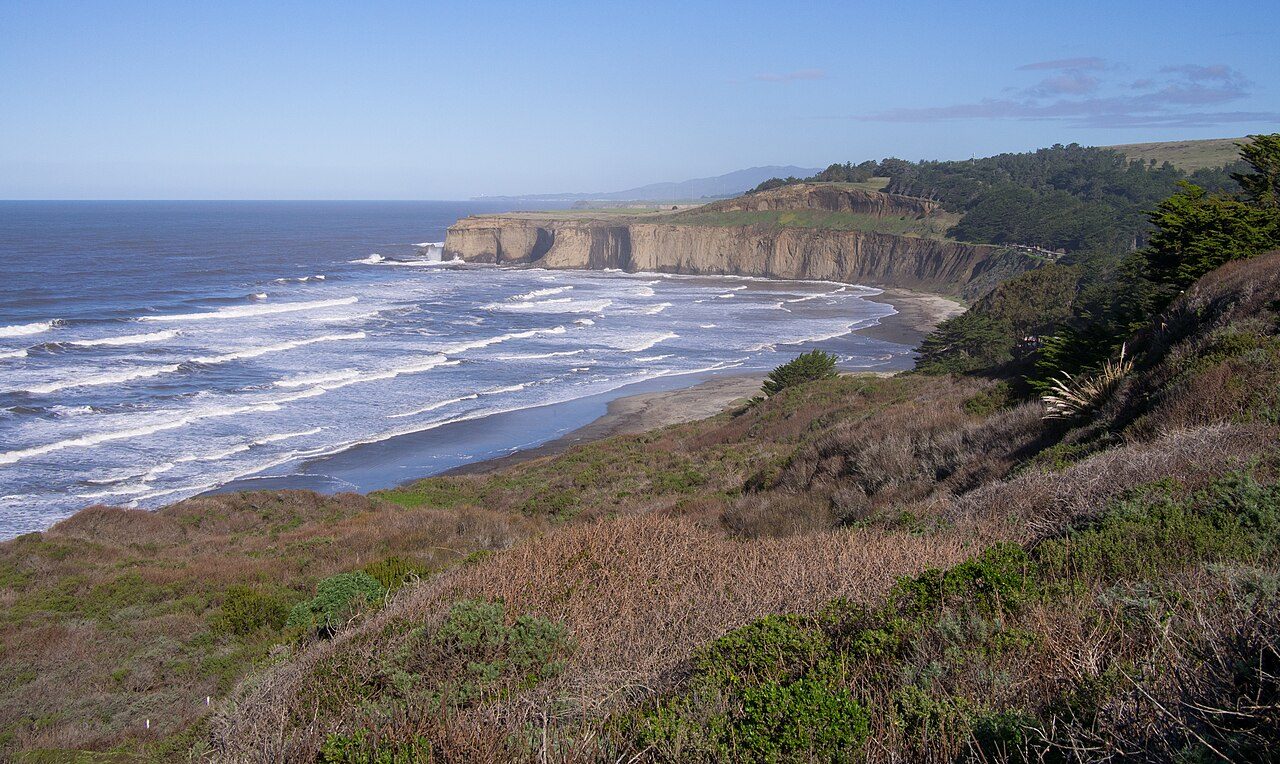
Tunitas Beach
24.6 km away
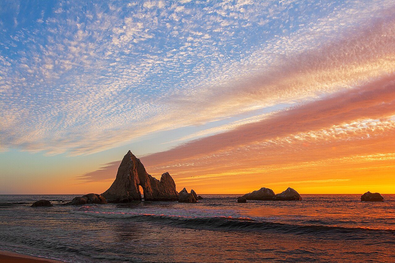
Martin's Beach
24.6 km away
San Gregorio nude beach
25.9 km away
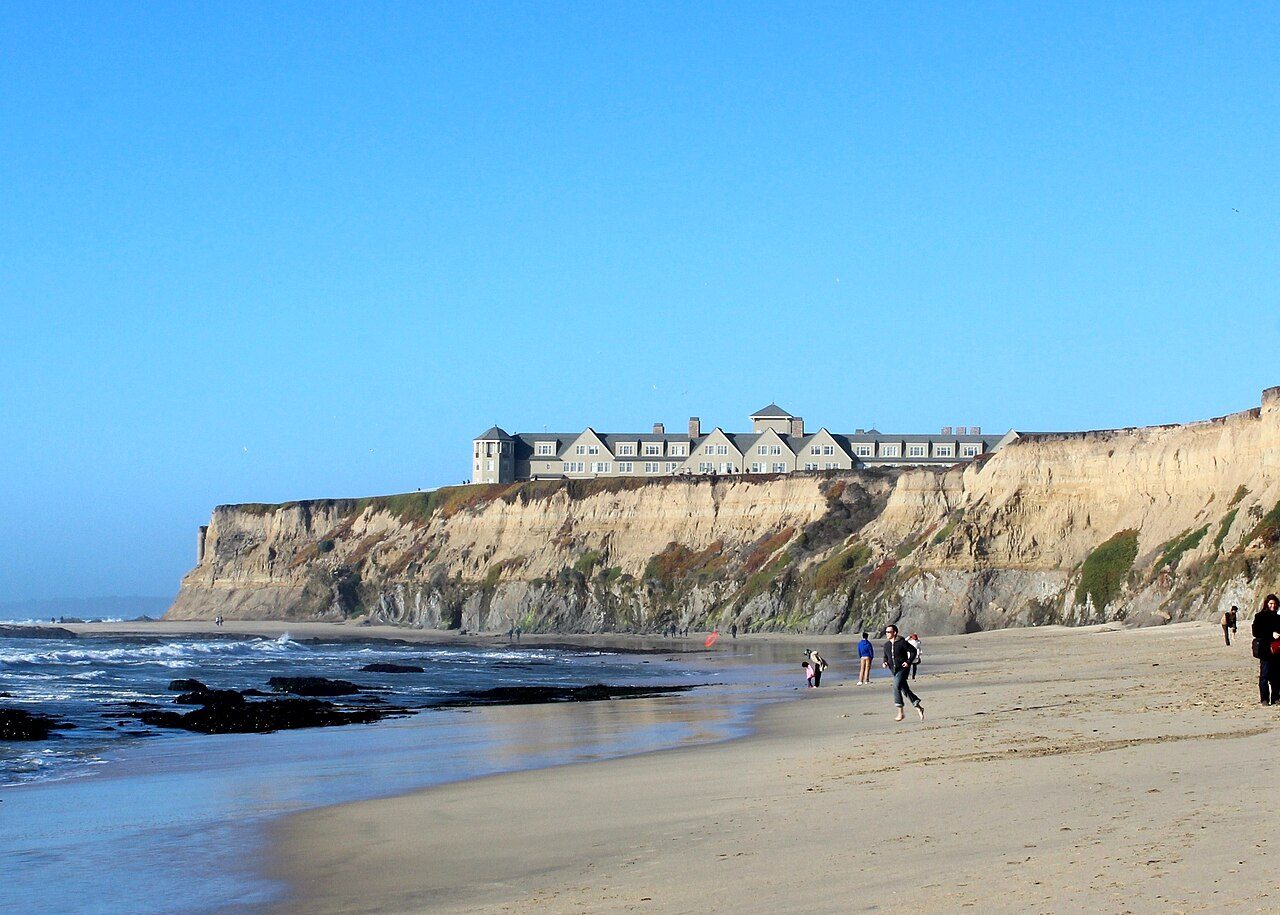
Manhattan Beach
26.2 km away
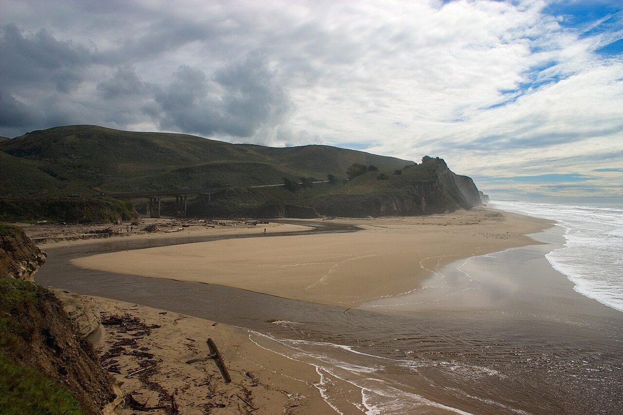
San Gregorio State Beach
26.4 km away
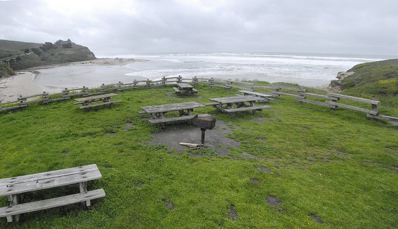
San Gregorio Beach
26.5 km away
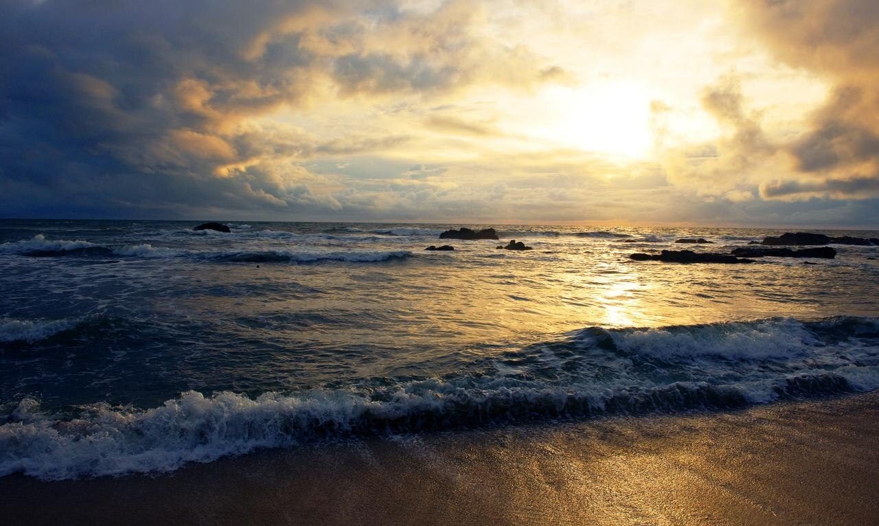
Redondo Beach
26.5 km away
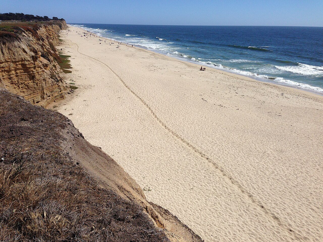
Poplar Beach
26.7 km away
Things to do in Palo Alto
Stanford Stadium
football stadium
1.8 km
HP Garage
history museum
1 km
2.7 km
Papua New Guinea Sculpture Garden
sculpture statue
3.3 km
St. Thomas Aquinas Church
roman catholic place of worship
1.3 km
Museum of American Heritage
history museum
1.3 km
Klein Field at Sunken Diamond
baseball stadium
1.8 km
Burnham Pavilion
arena
2.4 km
Getting there
Palo Alto Airport of Santa Clara County · 3.2 km
Frequently asked Questions
While we strive to provide accurate and up-to-date information, AtoBeach cannot be held responsible for any inaccuracies. We recommend verifying details with official sources before travelling.