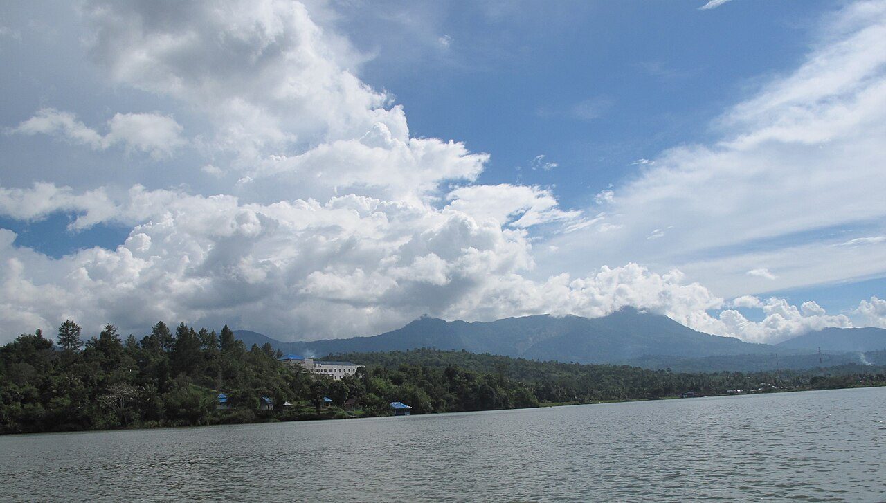
Bengkulu Travel Guide
Indonesia
Bengkulu is a city of 309,712 people on the western coast of Sumatra, Indonesia. Its coastal setting gives the city easy access to nearby beaches and the waters of the Indian Ocean.
Travellers arriving by air use Fatmawati Soekarno Airport (BKS). Tapak Paderi Beach is 1.2 kilometres from Bengkulu, while Panjang Beach is 2.3 kilometres away, making both straightforward options for a coastal visit close to the city.
Local time
Population
Weather in Bengkulu
Fri
Sat
Sun
Know before you go
Pays in IDR
Plug type Type C & Type F (UK adapter needed)
Emergency 112
Dial code +62
Tipping: Tipping is not as widespread or expected in Indonesia as it is in some Western countries, but it is becoming more common, especially in tourist areas and for good service.
Best time to visit Bengkulu
Jan
29°28Feb
30°24Mar
30°28Apr
30°28May
31°24Jun
30°25Jul
30°23Aug
30°24Sep
30°18Oct
30°20Nov
29°28Dec
30°26Average daily maximums with rainy days per month, from the last three years of weather history.
Beaches near Bengkulu
Tapak Paderi Beach
1.2 km away
Panjang Beach
2.3 km away
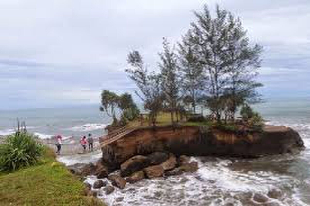
Sungai Suci Beach
8.6 km away
Things to do in Bengkulu
Fort Marlborough
historic site
1.2 km
Anggut Dalam, Ratu Samban, Bengkulu
historic site
0.5 km
Bajak, Teluk Segara, Bengkulu
historic site
0.8 km
Semarak Stadium
stadium arena
1.3 km
GBI Sariwangi
christian place of worship
0.2 km
Masterpiece Bengkulu Family Karaoke
karaoke venue
0.8 km
Mesjid Agung At-Taqwa Bengkulu
muslim place of worship
0.1 km
Masjid Agung At-Taqwa
muslim place of worship
0.8 km
Getting there
Fatmawati Soekarno Airport · 11.4 km
Frequently asked Questions
While we strive to provide accurate and up-to-date information, AtoBeach cannot be held responsible for any inaccuracies. We recommend verifying details with official sources before travelling.